An open platform for geospatial algorithms.
Sonora is open source: a place where a community builds, trains and deploys models of the physical world. Models, datasets and deployments live on one hub, with coordinates, versions and scores earned in the open.
Most models of the physical world are trained once, published as a paper and never run again. The ones that do run are closed, and their track record is a pitch. Sonora gives every model a card, a version, a score against observations it never saw, and a way to run at the coordinates someone cares about.
Sonora Research seeds the hub with its own work: graph foundation models that treat stations, grid cells and assets as nodes of one graph over real-time geospatial data, and the one-minute station record they are scored against. The platform is open source; what lives on it carries open licences and open scores.
The founders
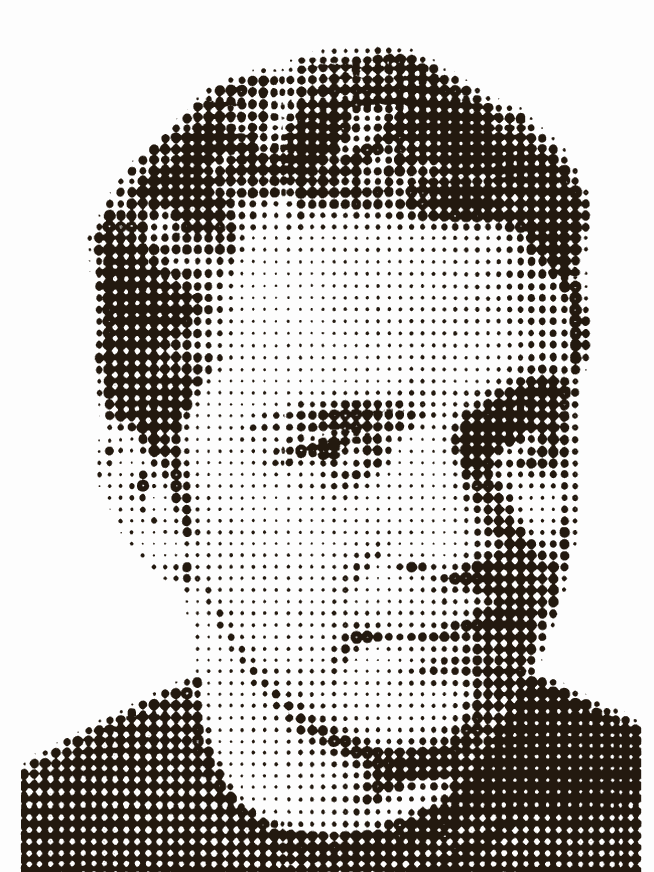
Thomas Dougherty, Ph.D.
Stanford engineering PhD in the Urban Informatics Lab, where graph neural networks pulled a city’s regional signal into energy prediction (GRIDS, TOM.D, Invisible Walls) and satellite imagery became building energy models at scale (SCHMEAR).
Led R&D at Taoshi from 2024 to 2026: real-time algorithms for financial markets and the infrastructure that runs them. Earlier, machine learning and backend engineering lead at BlueUrbn. Mechanical engineering at the University of Texas at Austin.
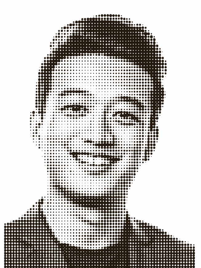
Jay Qu, Ph.D.
Stanford physics PhD at SIMES and SLAC, on quantum materials and spin-resolved photoemission. Harvard physics BA, with nanomaterials research in the Yacoby lab.
PhD resident at X, the moonshot factory, on AI for chip design; senior data analyst at Engine Ventures in tough tech; co-founded Terra2 through the Cleantech Open; venture fellow at Romulus Capital.
The work
The hub
Model cards with versioned weights, datasets with coordinates, one-click deployments, and a client that feels like the one you already use.
Models
Graph foundation models pre-trained over every variable and every place; small readouts fine-tuned per question, with open weights.
Data
The real-time geospatial record: one-minute stations, kilometre-scale fields and satellite passes, on one time axis with their true publication lag.
Community
Open source, open weights, open scores. Contribute a model, a dataset or a baseline; the record decides what ranks.